A simple geography map task exploring your local area can produce beautifully complex results
"The poets were writing about how the discarded soiled mattresses were lounging like teenagers against the walls"
- by Jonny Walker
With heavy exhalations and after much eye-rubbing, I had finished drafting the curriculum map for the whole school for geography. I looked over it first with a sense of relief, and then immediately afterwards with a mild sense of encroaching woe: it was blisteringly dull.
The coverage was there, sure, but essentially, I had just rewritten the entire national curriculum in a different font.
In certain areas it lacked freshness, or anything to really hook in the children. I thought about what it was that made me excited about geography, and realised these things were absent from the curriculum: a sense of curiosity about the space in which we live and a knowledge of local stories.
The Y4 unit on urban settlements included a walk around Spitalfields and Whitechapel; we explored the blending of new and old architecture, tracked the history of migration onto Brick Lane, we looked at how religion changed the look of the area and we had lunch in the city farm, a little dollop of the rural in the heart of the urban.
This was good but it still required us to get on the tube. Despite the fact that our kids live in the shadow of the Olympic Park, they don’t see themselves as Londoners or even East Londoners, so visiting this area still felt like an exotic day out to them.
I needed something really local, a walk from school, that would give pupils a better understanding of their own area. That’s when I remembered reading about psychogeography, the pursuit of the eccentric Situationist movement that originated in 1950s Paris.
Going exploring
Outlining the principles behind the movement, Guy Debord wrote about it as being about ‘transient passage through varied ambiances’. Sadie Plant explored it as a method to comprehend how ‘certain areas, streets, or buildings resonate with states of mind, inclinations, and desires, and to seek out reasons for movement other than those for which an environment was designed’.
As I dug a little deeper, I found Robert MacFarlane’s explanation of a simple psychogeographical ‘dérive’:
‘Unfold a street map… Place a glass, rim down, anywhere on the map, and draw round its edge. Pick up the map, go out in the city, and walk the circle, keeping as close as you can to the curve. Record the experience as you go, in whatever medium you favour.’
It was falling perfectly into place. The key issue pupils had with their local built environment was that they don’t see it. They move on autopilot from one familiar place to another; from house to school, to Tesco, to the mosque or temple and back again.
The area they live in had become taken for granted to such an extent that their transit around it was pure habit.
So it was decided; we would conduct a dérive in Y5. I gathered the flock around me and placed an A3 map of our area – with a span of about 1.5 miles – on the table in front of me.
I asked for a volunteer, sat them beside me, blindfolded them and handed them an upturned mug. I explained to the children that wherever the mug was placed, we would draw around it and this would become the route of our next visit. They blinked excitedly.
As the children watched giddily, wiggling the map while the blindfolded kid weaved the mug in the air theatrically, a hush descended. The mug was dropped and the line was drawn. “This”, I announced, “is our route. We will stick to the line as closely as possible.”
I had to risk assess it of course, a concern that didn’t affect the Situationists, and as I did, I was seeing things with new eyes too. I looked through people’s windows, wondering whether they would mind if I cut through their garden to stay true to the line.
Free country
On the day of the visit, I gave each child a role. Our purpose was to experience the route in as much detail, and with as many different focuses, as possible.
Some children were to be photographers. Some were smell-noticers. Some looked only for examples of particular colours everywhere we went. Some people were explicitly people-watching. Some were composing free verse poems. Some were sketching.
All of them would be observing and talking, soaking up the space around them.
So we set off, with each child knowing their role and clutching a circular map, which cut out all that was extraneous to our walk. We reached our circle for the first time at the junction between two local roads.
By a glorious coincidence, this was the home of one of the pupils, so we took this to be the starting point. We huddled against the wall of her yard and the children worked out where we needed to go next.
“Sir, we can’t do it, this is someone’s house.”
‘Well why not?’, I asked them. ‘It’s a free country.’
‘We can’t just walk in people’s spaces.’
As they wrote, photographed, sketched and sniffed, we predicted some difficulties we may have. The children were arriving at a vague notion of public and private space.
We walked on and recognised that our map-circle would require us to walk up the middle of the road. Rightly enough, they declared this to be dangerous. They looked at the footpaths and decided that these were a useful invention, having never really considered them before.
Finding roundness
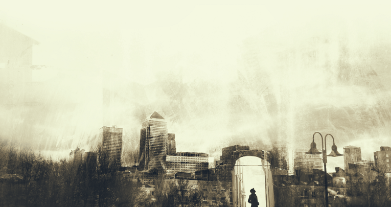
We arrived at a main road, one that they walk several times a day, and they started to see it with new eyes. The poets were writing about how the discarded soiled mattresses were lounging like teenagers against the walls. The photographers captured candid conversations going on in the newsagents. The sniffers gagged at the binbags.
We carried on, crossing the road and cutting into an estate. We sat on the wall of a pub car park and talked about the route so far.
“It’s so many lines”, one of them said.
“We can’t walk in a circle here because everything is in lines.”
From the straight wall, to the straight pavement, straight road and straight rows of houses, up to the vertical straights of the tower blocks above us, we had this crucial recognition. We paused and abandoned our roles temporarily, with everybody focused on finding roundness.
While the roads didn’t curve, we saw bin lids and hub caps, pram wheels and garish hula hoops in the shared gardens of council flats. These were the few small rounds in a patchwork of linearity.
The rest of our journey took us past a house that they decided was haunted – one that looked so much older and more gothic than all around it – and it took us past the football pitch for Clapton FC. It took us across the park, the one time in the whole route where we could follow the circle exactly, freely.
Back at school, we collated all of their observations into a huge multisensory circular map, containing photographs, sketches, snippets of poetry and descriptions of the scents and sounds of our tiny part of East London. And in this, the richness of their understanding was laid bare.
Jonny Walker is assistant headteacher at Park Primary in East London.

