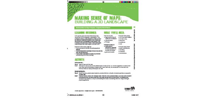
Pupils make links between the world around them and its topographic representation. They investigate mapping, using geographical skills to explore the differences between the physical form of landscape features and their representation in map symbols.
This knowledge forms the basis of further work to build pupils understanding of the united kingdom and wider world.
By the end of this activity pupils will: • Have used maps to describe relevant geographical features • Have developed their knowledge of maps using symbols, keys and grid references • Have worked collaboratively in small groups to build understanding and reinforce learning
